There's that rumour about the great wall of china being the only human built structure visible from space. Which is a bit funny since it's not really super wide, and there are plenty of bigger buildings. Like pyramids and stuff.
But I guess while it's not super wide, it is super long. So from space, it's a bit like spotting a hair on the carpet vs a grain of sand. With variable weather, any single building could be covered by a single storm, but only part of the wall would be covered. So I guess if we count the whole wall as one building it probably is the building that can be seen most reliably. In fact the ESA published a composite image from space in which you can find ithttps://www.esa.int/ESA_Multimedia/Images/2021/05/Great_Wall_of_China_from_space
Anyway, the reason I was thinking of this was that I was looking over satellite imagery of the UK, looking for interesting canals, and came across something new:
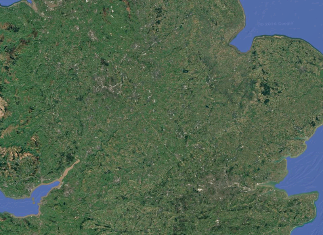
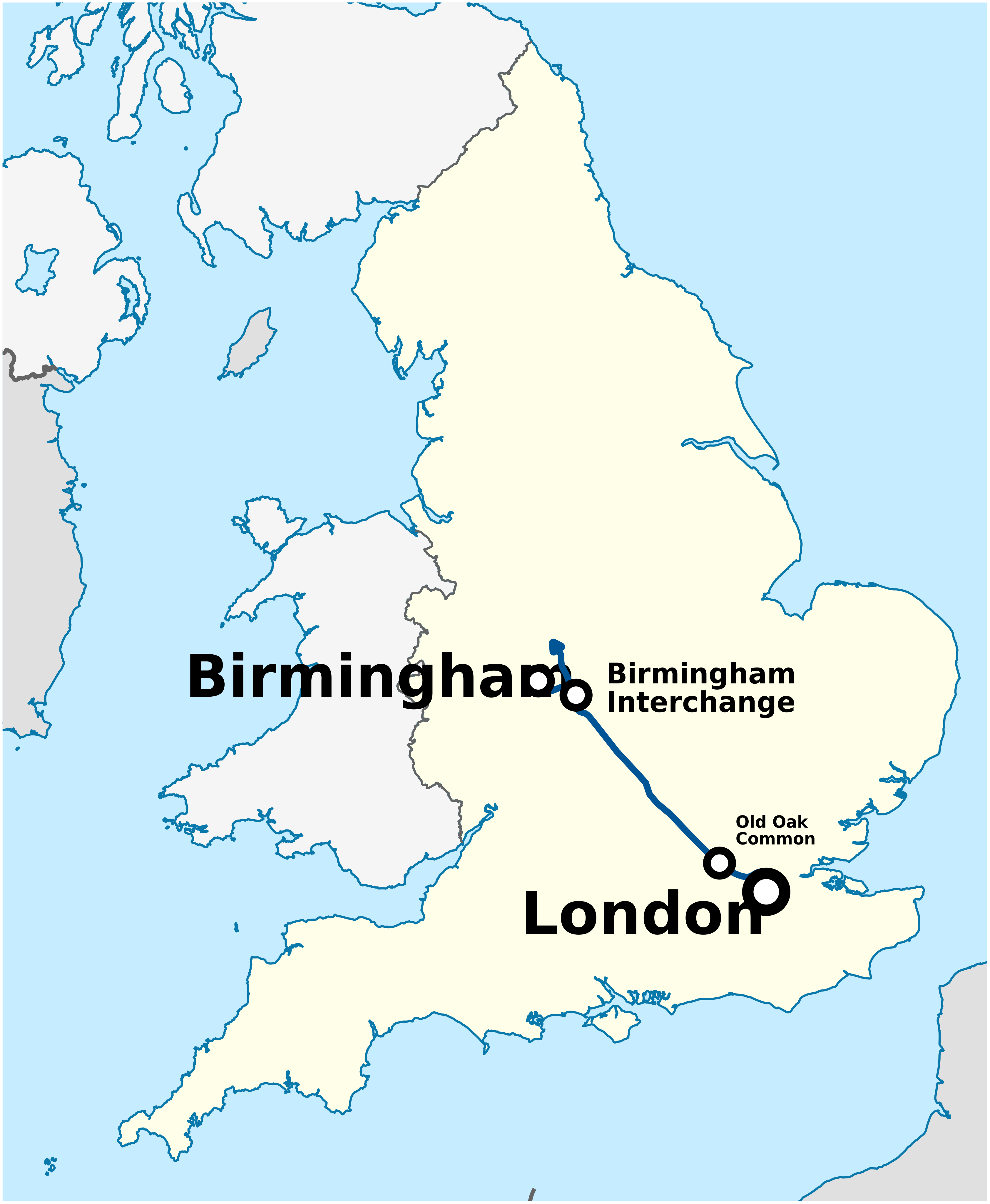
What's that massive structure between Birmingham and London? A new motorway?

For those familiar with recent british infrastructure projects, those 2 locations were probably a giveaway, but if we zoom in, it becomes clearer:

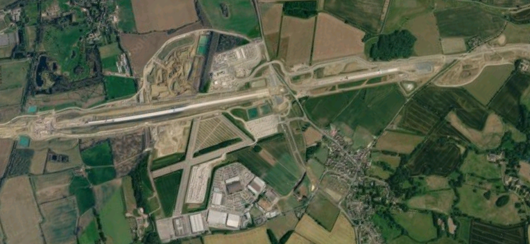

That line, is a giant, sandy construction site, carving through the greenery of surrounding countryside. That is High Speed Railway 2 (HS2). A roughly 107km long train line connecting London, Birmingham, and theoretically the northern half of the country, HS2 has suffered many overruns in budget and timelines. It's route mirrors one of the bursts in railway development in the UK, when London, Birmingham, and Manchester were connected around 1839https://brilliantmaps.com/196-years-gb-rail/ .
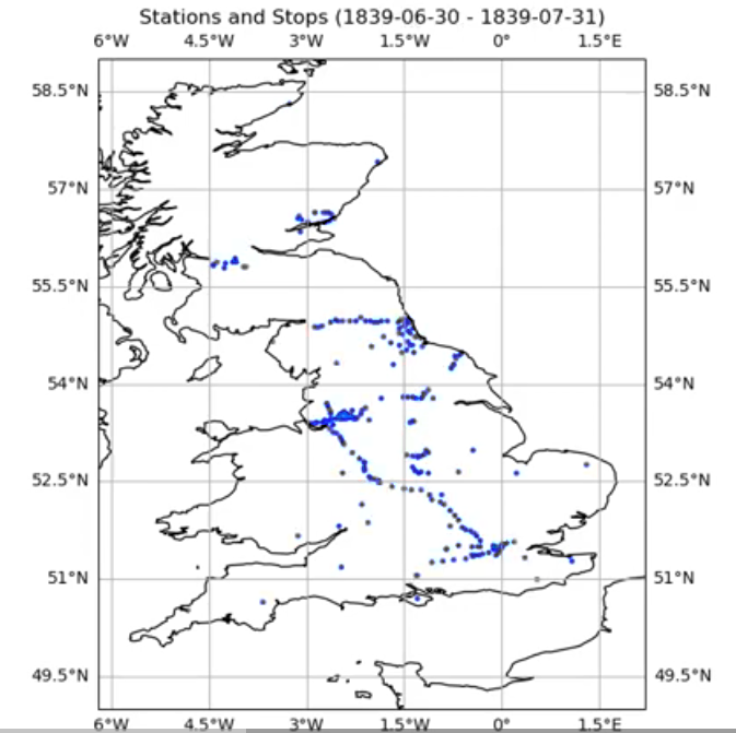
mRailway stations in 1839
It's planned to house the fastest trains on the world, at 360 km/h. Faster than Japanese bullet trainsWhich according to Wikipedia, go from 260-320 km/h . In theory. Because no railway exists in the UK that can actually handle that, currently. So to develop the trains they need to build a separate testing track, causing some other delaysBBC: HS2 trains could run slower than planned to save money, https://www.bbc.com/news/articles/czex3lj077xo .
Due to some widely reported on objections from landowners, the train line had to take on more and more curves and tunnels, increasing the infrastructure footprint, as summed up in the BBC's pre-post-mortem:
In the end, 11 tunnels were commissioned between London and Birmingham, burying the line for 32 miles of the 140 mile track. There were 50 viaducts.
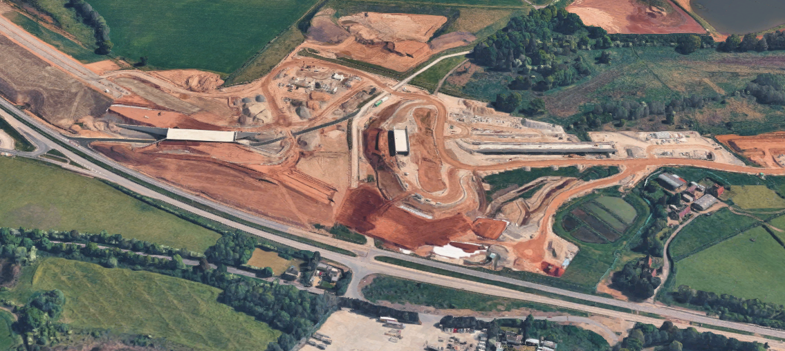
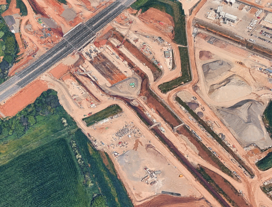
You can see how big some of these building sites are in the below images, hence why the whole thing is visible from space:
But HS2 is not the first phenomenon to scar the land. From maps, what other marks can we trace?
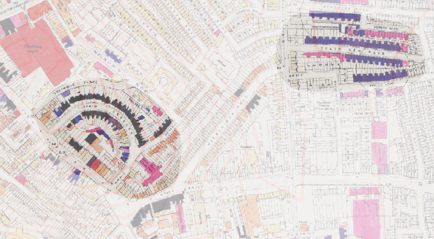
One such map is the blitz map of Londonhttps://www.thelondonarchives.org/your-research/research-guides/second-world-war-bomb-damage , compiled by the government, mapping bomb damage to the city. You can see the impact of V2 rockets pockmarking the city, tearing out chunks of streets, and gouging marks into the capital. Here you can see some examples, with bomb damage marked in shades of orange to dark purple, depending on the level of damage:
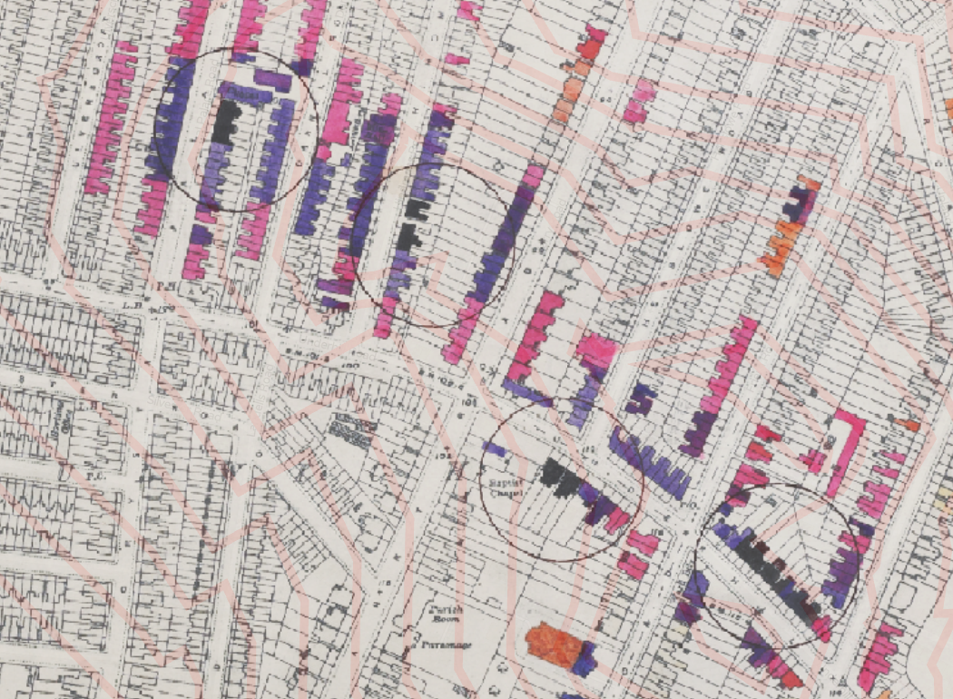
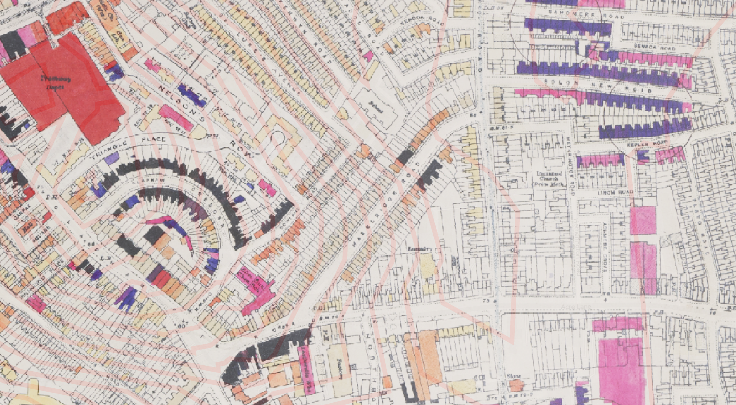
You can see an interactive version of it here: https://www.layersoflondon.org/map/overlays/bomb-damage-1945
From above high the city is turned into a literal heatmap: the density of bombing shifting across the city, according to the strategic importance of the area, or inaccuracy of German pilots and rockets.

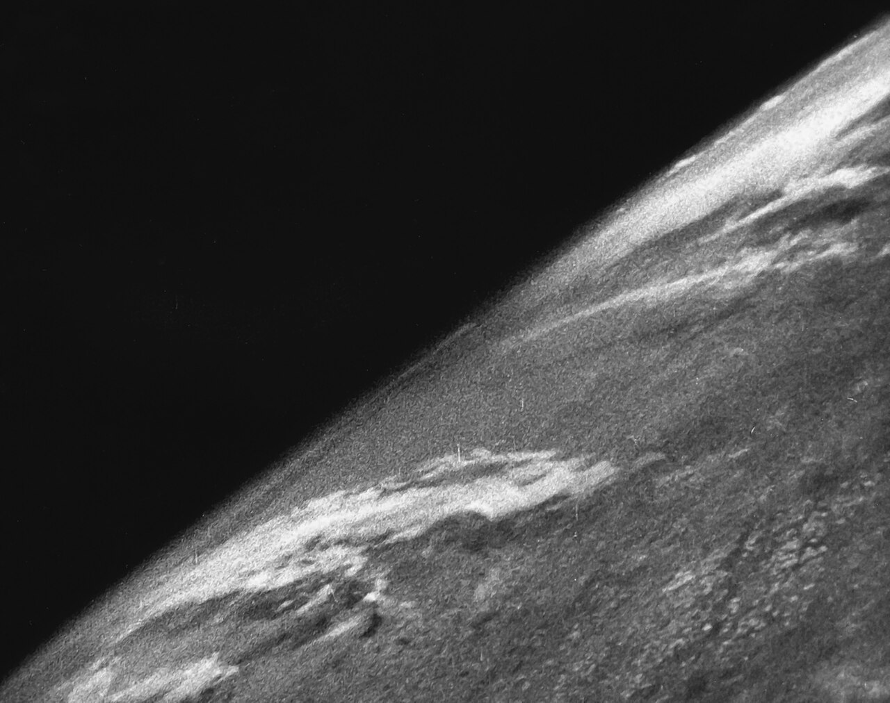
Ironically, it was the V2 rocket that provided the world's first picture from spacehttps://en.wikipedia.org/wiki/V-2_No._13 https://en.wikipedia.org/wiki/Timeline_of_first_images_of_Earth_from_space , the technology used to illustrate so much of this blog post. The former weapon of destruction was acquired by the USA, presumably as part of operation PAPERCLIP, and shaping the course of the space race forever.
Far north of London, in Clitheroe, Lancashire, Pendle hill looms over the town.
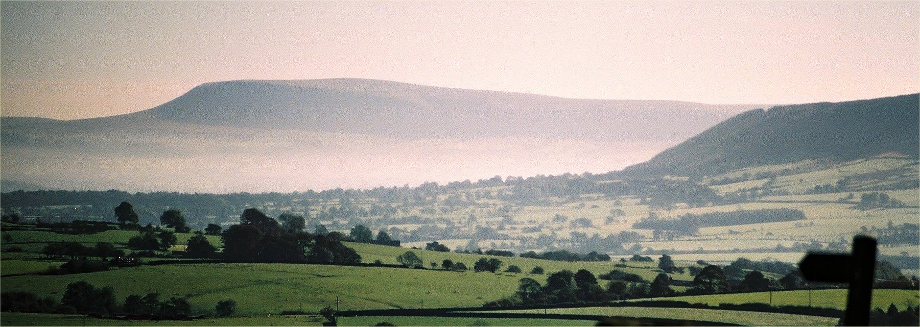
While it looks serene, Pendle hill was the site of some of the UK's most famous Witch trialshttps://en.wikipedia.org/wiki/Pendle_witches a shameful mark on our history. Now, the landscape is "scarred" by the limestone quarries, one of which occupies almost half the size of Clitheroe itself.
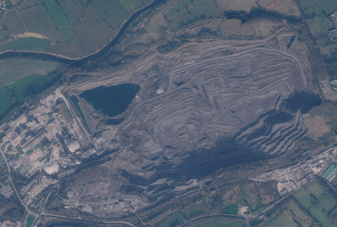
While we might see them as ugly, or contrary to nature, are these scars that bad? They're symbolic of our history, and how far we've come as a civilization, including missteps we made along the way, carving into nature to obtain resources. We wouldn't be who we are if we didn't build our houses of stone, and long pointless railways to Birmingham.
Healing
But over time, nature takes it's course, and refills in the cracks. Water collects in the bomb craters, reforming natural ponds and wetlandshttps://www.theguardian.com/environment/2026/may/06/london-to-ukraine-how-nature-is-thriving-in-bomb-craters ,
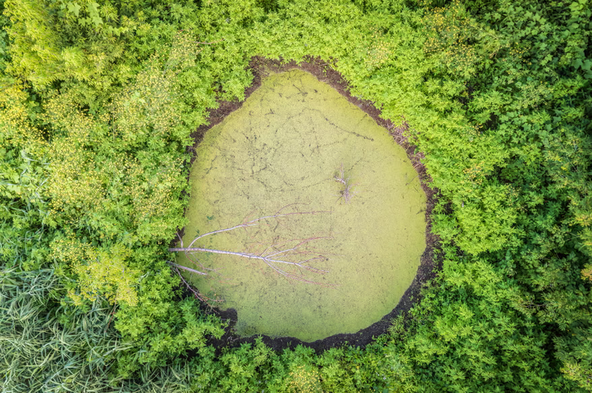
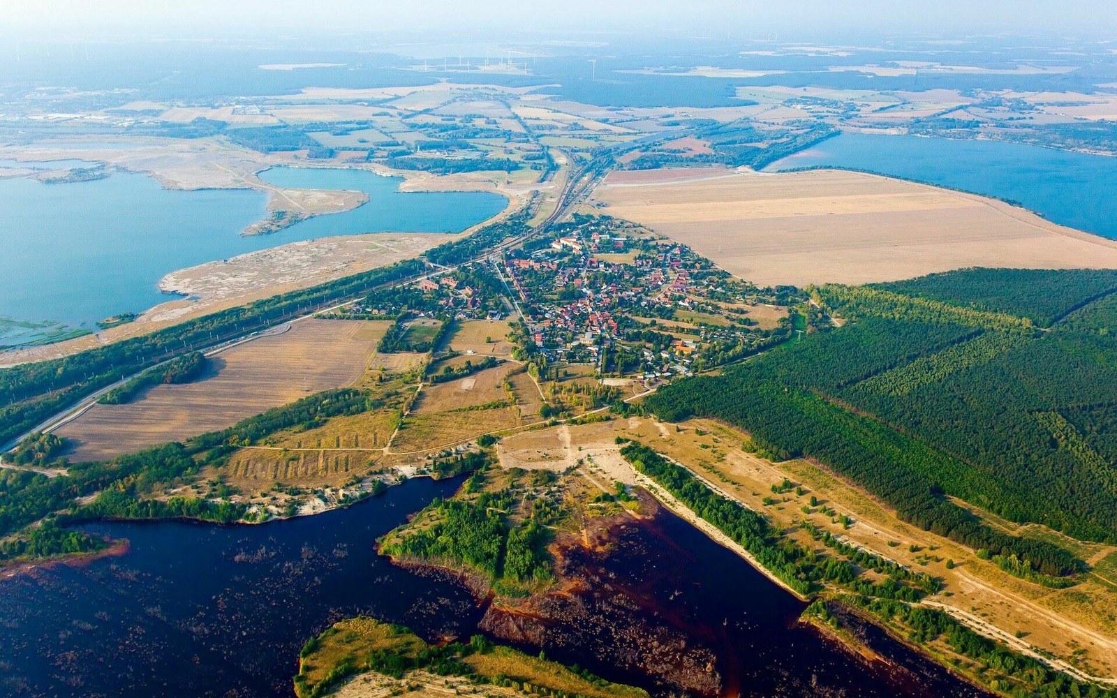
In Germany, the former Sedlitz open-cast mine has been flooded, recreating a vast network of lakes and waterwayshttps://www.lausitzerseenland.de/en/the-lakes/article-lake-sedlitz.html .
In london, the people cleared away the rubble from the streets, and began to rebuild. Under Attlee's government, which established national parks, and Aneurin Bevan's direction, the holes in the city were knitted over, often with social housinghttps://en.wikipedia.org/wiki/Public_housing_in_the_United_Kingdom#Post-war_reconstruction_phase .
Remember that image of bombing in Clapham from earlier? Here it is now. You can see the bombed areas have now grown into newer, larger buildings, and green spaces, breaking free of the cramped rows of semidetached houses.
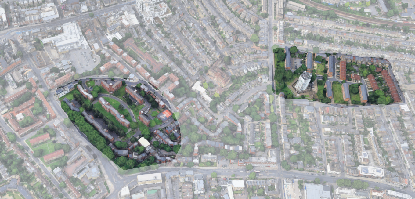
If you look over london, you can make out similar clusters, with schools, GP's surgeries, and social housing springing up from the victorian rooftops where the V2's hit.
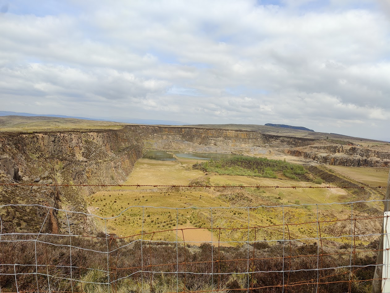
And up on the hillside above Clitheroe, life returns to the disused quarry: